Thursday, April 28, 2016

Day 6 - Love, Virginia to Lexington, Virginia

Tuesday April 26, 2016, 36.5 miles(58.7 km)


My day started on the Blue Ridge Parkway with a few more ups and downs.  It really has not greened up with spring up on the mountains yet. The climbs were not so bad today and in one case I could see what it would be like long before I got to it.  

Interesting Folklore

View Over The Cliff

Route Preview - Line Across Mountain Is Parkway

Again I saw many wildflowers along the way.  For those that are wondering why I take so many photos of wildflowers it is because they are quite visible to me sitting only a foot off the ground and as slow as I move up hill I get plenty of opportunity to see them :-).  There is a disadvantage of sitting so low to the ground and that is road kill, I get a real nose full of that. (no photos of that though)

Wildflowers

Wildflowers

After 27 mile on the Blue Ridge Parkway my route left the Parkway and descended to the town of Vesuvius, Virginia.  The 3 mile or so descent was very step and winding.  When they post signs saying all vehicles use lower gear you know it is steep, only problem is I don't have a lower gear on my trike that would slow me down.  I stopped three times on the descent to let my brakes cool down.  I have metal disc brakes that don't wear down much, not sure how bikes with pad brakes get down with brakes intact.  


Soon after leaving the small town of Vesuvius my route followed a small river and was quite.level.  It was nice to finally pedal and keep a nice even speed.

Stream Along Route

Along the river I came to my first waterfall of the trip, with a smaller stream flowing into the stream I was following.

First Waterfall

After leaving the stream I had a few hills to go over and then came to the city of Lexington, Virginia, the home of the Virginia Military Institute and Washington and Lee University.  The two college campuses are adjoining.  On the campus of  Washington and Lee is Lee Chapel where Robert E. Lee is entombed. 

Virginia Military Institute

Washington and Lee University

Lee Chapel

Robert E. Lee Tomb

After leaving the two colleges I sought out a grocery store to stock up a little.  I picked up several items and I think I ate about half of them in the parking lot, I guess I was hungry.  After studying the maps I decided to find a hotel on the west side of Lexington as there were not other options further along my route that were within the distance I wanted to cycle with the remaining time in the day.  It ended up being a good decision as it rained quite hard overnight.  

Wednesday, April 27, 2016

Day 5 - White Hall, Virginia to Love, Virginia

Monday April 25, 2016, 31 miles(49.9 km) 


Had a good early start.  The route was along country roads and started out hilly but not too steep or long of hills.  I passed through an area with several peach orchards.  Many of the orchards had a very untimely frost this spring and will have little if any crop.  I stopped at the one shown below, too early for any local fruit but I did get a couple apple cider donuts.  They were very good.

Peach Orchard
Peach Orchard

After leaving the orchard the route became much hillier with much more up than down.  Along the way I found a few clumps of the flowers pictured below on one hill, I had not seen any like them before or since along the route.

Peach Orchard
Wildflowers

After a long (about 3.5 miles) uphill climb I finally got to the top of Afton mountain and was on the Blue Ridge Parkway.

Peach Orchard
Blue Ridge Parkway Entry Sign

Along the Parkway there are several overlooks allowing views of the valleys below.  Between each there would a saddle between mountains, thus my ride was a combination of slow 2.5-3.5 mph climb followed by a short exhilarating 30+ mph downhill run. 

Peach Orchard
Overview Sign

Peach Orchard
Valley View

At the Humpback Rocks Visitors Center, which was not open for the season yet, they had a very nice azalea pictured below.

Peach Orchard
Azaleas

Pictured below are more views along the Blue Ridge Parkway.


Peach Orchard
View

Peach Orchard
Balanced Rock

Peach Orchard
Overlook


Peach Orchard
View


Peach Orchard
Overlook Sign


Peach Orchard
Valley View

After cycling 16 miles along the Parkway I camped at Royal Oaks Cabins in Love, Virginia which offers camping spots cyclists and hikers. They have very nice cabins, a small store, and seasonal deli.  It was a very nice place to stay with a friendly owner but not so good of internet. 


Tuesday, April 26, 2016

Day 4 - Palmyra, Virginia to White Hall, Virginia

Sunday April 24, 2016, 39 miles(62.75 km) 


I got a bit of a late start leaving the church this morning.  It was a great place to stay.  The day started in the countryside and then passed the homes of two Presidents on the way to Charlottesville.

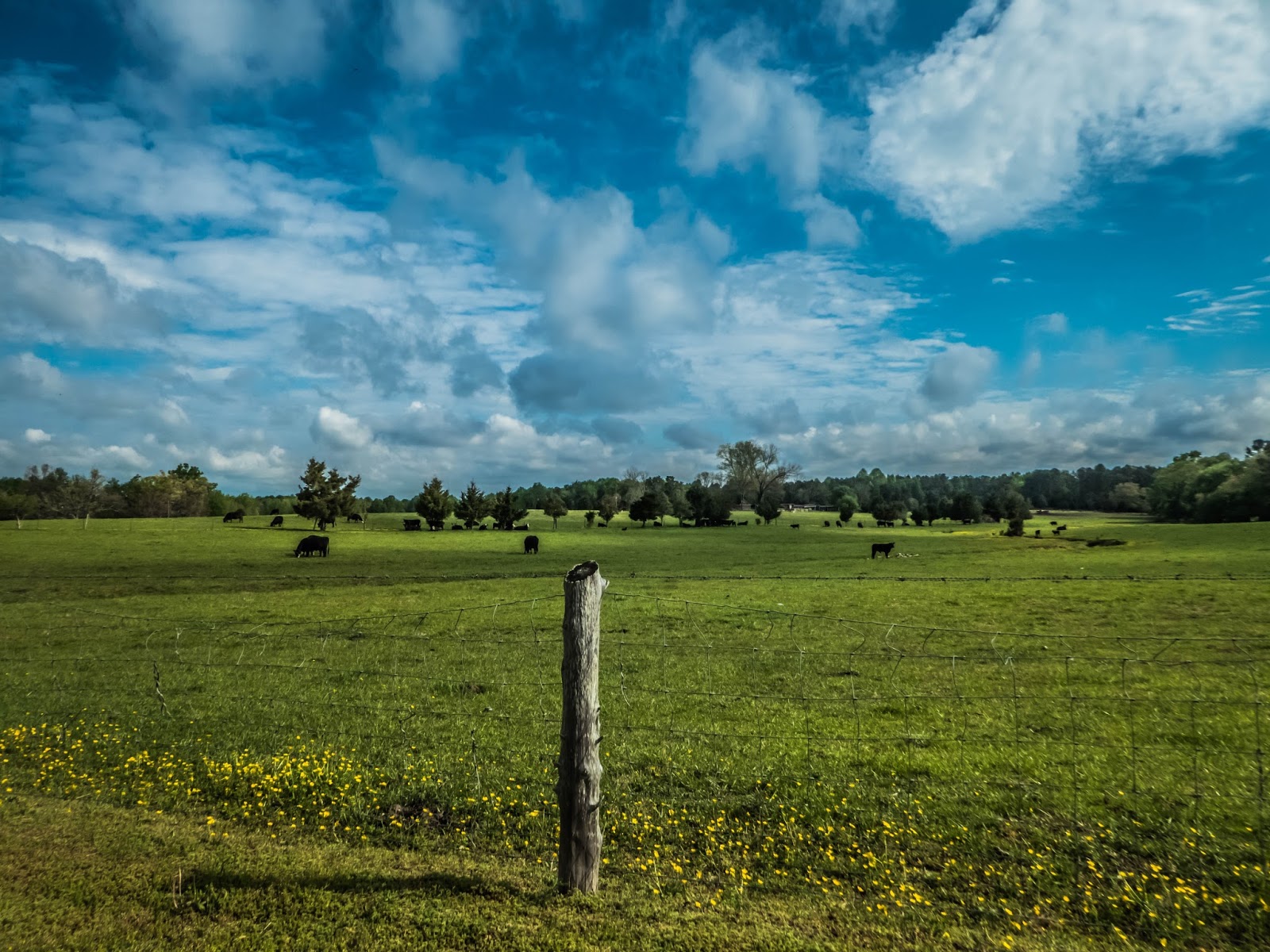
One thing that has surprised me is the lack of Confederate monuments I have seen on this ride.  I did spot one in Palmyra but I think is the only one I have seen thus far.

Confederate Monument
Palmyra Confederate Monument

The first Presidential home I road near was that of President James Monroe, the 5th President of the United States.  The home is known as Ash Lawn and is now owned by the College of William and Mary, the college Monroe had attended.  I didn't ride up to the home as it was a considerable distance off route and uphill. (I didn't need any more hills to climb)

Road to Ash Lawn
Road to Ash Lawn

I next came to the home of President Thomas Jefferson, Monticello.  I didn't stop here either as I had visited Monticello the week prior on my trip out to the start of my ride.

I next stopped by Michie's Tavern which was established in 1784 and moved 17 miles to its current location in 1927.  It is a very popular restaurant especially on Sunday's,  they have a buffet serving Southern  fare including fried chicken and barbecued pulled pork, was very tempting but the wait was longer than I wanted. 

Michie's Tavern
Michie's Tavern

The ride through Charlottesville was uneventful but quite stressful as there were cars everywhere.  It seemed like every student at the University of Virginia was either out driving or had parents visiting who were driving.  Fortunately they had bicycle lanes through part of the city but not all.  Didn't take the time to take any photos, it would be a great city to visit and walk around.

After leaving Charlottesville I rode on mostly quiet country roads with many newer large homes.  Most were probably homes of college professors or doctors the the University medical center. As I road further I started to get glimpses of what was to come as the Blue Ridge Mountains came in to view.


Blue Ridge Mountains
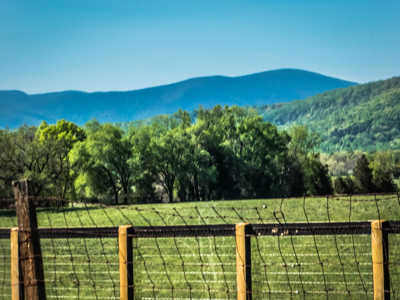
Blue Ridge Mountains In A Distance

I spent the night camped on the grounds of the community center in the small community of White Hall, Virginia.  The night was a bit noisy because the community center was at the intersection of two roads that had traffic through the night and also because a home near by had a "sound maker" that played bird calls all through the night.  I think there were about 10 bird calls that played over and over, the only thing that drowned it out was the real birds that started about 5 am.

Sunday, April 24, 2016

Day 3 - Ashland, Virginia to Palmyra, Virginia

Saturday April 23, 2016, 68.5 miles(110 km) 


After a night of off and on rain (I stayed dry in my tent) the morning started off very foggy.  I had to put my front flasher on so I would be seen. But it did clear up after an hour or so of riding.  Navigation on the Virginia portion of the route is quite easy as there are signs pointing the way.  I follow the route 76 signs. (I also have a gps loaded with the route so it is easy to follow.)  Route 1 running north and south along the east coast follows the same route as Route 76 for a few miles near Ashland.

Direction Sign
Direction Sign In The Fog

I visited historic churches and homes today including the home of Patrick Henry called Scotchtown.  The first historic home I visited was a two-room log house constructed circa 1843 and is called Church Quarter.  During the Civil War General "Stonewall" Jackson and his staff stopped at the house and asked for water and the woman residing there gave them water to drink.  The house has been purchased by the Scotchtown Chapter of the Daughters of the American Revolution and they have restored the home.

Direction Sign
Church Quarter


The first historic church I visited was an Episcopal church called the Fork Church founded in 1722 and the current building was constructed circa 1736.  The church is has a churchyard with many interesting gravestones and has the grave of a Revolutionary War veteran.

Fork Church
Fork Church

I next came to Patrick Henry's house Scotchtown which was constructed circa 1725.  It was from this house that Patrick Henry rode to Richmond in 1775  and gave his "Liberty or Die" speech.  The Henry's only lived in the house from about 1771 until 1776.  Patrick Henry moved to Williamsburg in 1776 when he became Governor.

Scotchtown
Patrick Henry's House - Scotchtown

I next came to Trinity Episcopal Church which was built in 1830.  The well maintained brick church is also surrounded by a churchyard with many interesting gravestones.
Trinity Church
Trinity Church

Most of the day the route was through either wooded areas or horse/cattle farms.  Many of the farms had been in families for a hundred or a couple hundred years.

Horse Farm
Horse Farm

Cattle Farm
Cattle Farm

I passed many different colorful wildflowers most of which I did not know what they were.  I also saw two piliated woodpeckers but they were camera shy and flew away.  The flowers didn't really want to stand still due to the wind but was able to get them anyway.

Wildflowers
Wildflowers

Wildflowers
Wildflowers

I passed through the "town" of Bumpass and it is customary for cyclists to take their picture in front of the Bumpass Post Office sign.  I would not want to break custom so I have the obligatory photo below. (no hair gel in that hair, that is sweat :-) )

Bumpass PO
Me At Bumpass PO

Tonight I am staying at the in the Palmyra United Methodist Church.   It is nice and dry.  Another cyclist is here also, Tyler, from Washington, D.C. originally from Oklahoma.  He is a photographer for National Geographic.  

Today was very hilly but tomorrow will be hillier.

Friday, April 22, 2016

Day 2 - Willis Methodist Church to Ashland, Virginia

Friday April 22, 2016, 37 miles(59.5 km) 

Today was a planned short day with a long day yesterday and another long one for tomorrow.  Today was along most quiet country roads.  Much of the day's route was near several Civil War battlefields.  
My first stop of the day was at the Glendale National Cemetery.  The cemetery was created for Union soldiers recovered from Malvern Hill, Frayer’s Farm, Harrison’s Landing and other areas in the vicinity.  The small cemetery is closed to new interments though was actively used into the 1980s.

Glendale National Cemetery

I passed many farm fields which looked like the one shown below, not sure what they are growing but sure is a lot of plastic row protection.
Farm Fields
Farm Fields


I also passed some very nice old houses with well kept yards.

Old House
Nice Old House

Along with this old house which was right in the middle of the battlefield for two battles, the Battle of Gaines' Mill in 1862 and the Battle of Cold Harbor in 1864.

Garthright House
Garthright House

My last stop of the day was the Cold Harbor National Cemetery.  The small 1.4 acre cemetery has the remains of Union soldiers who lost their lives in the Battles of Mechanicsville and Savage Station along with other battles in the area.  The remains of 889 unknown Union soldiers are buried in two trenches along the north wall the cemetery.

Cold Harbor National Cemetery
Cold Harbor National Cemetery Pennsylvania Monument

My day of exploring was cut short by a steady rain which continues into the night. I am "camped" out in my tent behind a bicycle shop in Ashland, Virginia. It is a bit noisy with traffic and I have been visited by a raccoon but other wise all is good. Hope the rain stops by morning.

Thursday, April 21, 2016

Day 1 - Yorktown, Virginia to Willis Methodist Church vicinity of Glendale, Virginia

Thursday April 21, 2016, 61 miles(98 km) 

My day started early with Patty driving me from Williamsburg to Yorktown.  The first stop was the Victory Monument commemorating the last major battle of the Revolutionary War in 1781.  The result of the battle was the surrender by General Cornwallis to General George Washington.

Victory Monument
Victory Monument

From Yorktown I road along the Colonial Parkway, a restricted, lower speed road. The road was quite busy with commuter traffic but all were courteous and gave me a wide berth when they passed.  I left the Colonial Parkway for a short pass through a small part of Colonial Williamsburg to avoid a tunnel on the Parkway.

Governor's Palace
Governor's Palace


Once leaving Colonial Williamsburg I was back on the Colonial Parkway on my way to Jamestown.  I didn't tour around Jamestown because I had visited there a few days ago. Once arriving at Jamestown I began a ride on the best cycling trail I have ever ridden, the Virginia Capital Trail.  I remained on the trail for the next 36 miles.  

Virginia Capital Trail

The trail passed through an area with a lot of history or at least a lot of historical markers. The photo below is but one example, a total of seven markers all in one place.

Historical Markers
Seven Historical Markers

The route passed through an area with several plantations dating back to the 17th century  but they were all off route more than I wanted to ride,  I did pass by many homes with beautiful azaleas in bloom in many different colors.

Azaleas
Colorful Azaleas

After leaving the cycling trail I had a short ride along a quiet country road.  It passed the Malvern Hill battlefield part of the Richmond National Battlefield Park.  The battle in the area was on July 1, 1862 and the days preceding and following.

Malvern Hill Battlefield

After a nice 61 mile ride I arrived at my stop for the night, the Willis United Methodist Church.  The ride was a little longer than I would have liked for the first day but the church is known for providing great service to cyclist and I arrived by mid-afternoon.  This church has provided a place for cyclist to stay for several years and it seems the church has a long service to those in need as it served as a field hospital after the Battle of Malvern Hill during the Civil War.

Willis United Methodist Church

Wednesday, April 13, 2016

Medical Tests - It's A Go

Prior to leaving on my ride I had a few medical tests/procedures which had to be completed.  These were my normally scheduled annual, semi-annual and quarterly tests.

First I had my annual colonoscopy.  For me these have been annual instead of the normal 5-10 year span between them, that's what can happen if you wait too long for your first one.  If you are over 50 or approaching 50 and have not had a colonoscopy, it is a good time to discuss with your primary care physician and get it scheduled.  It is easy to put off, there are many more pleasant things to do, however having to have colonoscopies annually and all the other procedures I have been through are not very pleasant either.... GET IT DONE.  I wear a wristband that says, "Colorectal Cancer: Preventable, Treatable, Beatable!", don't blow off the Preventable part.  I am done preaching for this post :-).  Good news my colonoscopy was good and now I am on a biannual schedule instead of annual.  YAY!!!

The next test is my semi-annual chest, abdomen and pelvic CT-scan. Fortunately this is a nice easy test, the hardest part is waiting days for the results.   Wait and waiting and waiting, the anxiety level rises as the time passes.  I should not get these on Thursdays, guaranteed an over the weekend wait.  In my case it is a wait until the next Wednesday wait when I had an appointment with my oncologist.  Did I say I hate waiting?  Yes, I am not very patient and the stress level always rises the longer I wait.  I got the results today, good news everything is fine.

The final test is a quarterly blood test.  They check my blood for several different things and indicators.  This test is also a nice easy test as they draw the blood from my port which also gets flushed at the time (an every six week requirement).  I had these done today, fortunately this one the results come back quick and they are all good.

So that means IT'S A GO.  The ride is on!!!

We start our drive to Virginia tomorrow.  Doing some sightseeing in the area before I start the ride a week from tomorrow.

Friday, April 8, 2016

Practice Makes Perfect?


Recently (March 29-30) I took a short practice run to a local county park.  I loaded my trailer with everything I plan on taking on my trip minus a few clothes.  Fortunately everything fit with room to spare. (Yay, I get to take 2 pairs of socks and underwear on my trip instead of just one j/k)

Trike Packed
Packed and Ready To Go


For this practice trip the route was mostly along the Katy Trail, a rails to trails trail which runs nearly across the state of Missouri.  My route only covered about 20 miles of this limestone chat trail.  This section of the trail runs along the Missouri River valley through agricultural area and Weldon Springs Conservation Area.  The trail following on the old railroad bed often has high limestone bluff rising on the north side of the trail

Katy Trail
Katy Trail

Limestone Bluff
High Limestone Bluff

Limestone Bluff
Limestone Bluff

Shelter Bluff
Shallow Limestone Shelter Bluff

Along the trail there remains remnants of the railroad past including concrete structures, mileage markers and most prominently are some remaining railroad bridges now used as pedestrian and cycling bridges.

Railroad Bridge
Railroad Bridge


My overnight campground was at Klondike Park, a park operated by St. Charles County, and located right along the Katy Trail near Augusta, Missouri.  I was the only person camping there that night.  It made for a quiet night except for the constant muffled drone of the power plant over a mile away across the river and the park ranger who came around about 9 pm checking on things.

Campsite
Campsite At Klondike Park


After a very good night of sleep I woke early as I knew rain was forecast for later in day.  After a quick breakfast I loaded up and headed for home along the same route as I took the day before.  I successfully beat the rain by minutes as it started as I was pulling my trike into my garage at home.

Missouri River
View Across Missouri River - Clouds In A Distance

The trip was a great trial run.  Did practice make perfect?  No, however the practice run identified a few minor imperfections which were easily corrected at home which would have been much more difficult to correct on the trail.  A few other observations from the practice run:  The trailer pulls well on pavement but is a little more noticeable on a gravel trail.  Cycling down an 11% grade towing a trailer makes for an exhilarating ride; cycling up an 11% grade towing a trailer is far from exhilarating, it is just a lot of work but I made it.

The practice run really helped to increase my confidence in my trike, trailer and gear, I am feeling good for the ride to start.